Currency:
The Euro is the currency in the Republic of Ireland, but if planning to travel to Northern Ireland, they hold Pound Sterling as their currency. Most retailers will accept charge cards, but it's always good to travel with some spending money, just in case. You may want to exchange your currency, at one of your local banks prior to departure to ensure you're fully prepared for your adventure.
Electricity:
The electrical supply in Ireland is a 230v 50hz, which is the same used in other European countries. The plugs and sockets are different from North America, involving a two/three-pronged vertical formation. It is advised you come prepared with a proper adapter for any of your devices (Mobile phones, laptops, Apple products ie. iPad, iPhone, iPod, Mac).
Language:
Although English is most commonly spoken in Ireland, Irish Gaelic is the native language in this lush country.
Time Zone
Ireland holds Western European time zone (IST, UTC+ 1 ) in the summer months and Greenwich Mean Time (UTC+0) in the winter for daylight savings.
Country Information
Ireland, also known as the Emerald Isle, is located in the North Western region of Europe. Being an island, it goes without saying that it’s surrounded with endless bodies of water for fishing and exploration. Some of these include the Irish Sea, The North Cannel, St. Georges Channel, the Celtic Sea, and the Atlantic Ocean. Despite being engulfed by so much salt water, the central lowlands of Ireland are flat rolling plains dissected by clear lakes, rivers, marshland surrounded by rolling hills and low mountains.
The Shannon River is just one of the many featured bodies of water that Ireland has to offer. Being the longest river in the country, the Shannon River separates the west and east in Ireland, flowing 224 miles. Ireland has a varied climate and the Atlantic Ocean has a major influence in this, keeping the overall average temperature around 50F (10C). Spring and Summer months, of course, bring moderate temperatures averaging 64F-68F (18C-20C).
Carrautoohil is the highest of many mountains located in the central area of the Macgillycuddy’s Reeks range, and certainly is a must see. This beautiful natural formation is located in the county of Kerry, on the South West cost of Ireland reaching, 1,038 Meters (3,406 feet).
The island’s geography comprises relatively low-lying mountains surrounding a central plain, with several navigable rivers extending inland. The island has lush vegetation, a product of its mild but changeable climate which avoids extremes in temperature. Thick woodlands covered the island until the Middle Ages. As of 2016, the amount of land that is wooded in Ireland is about 11% of the total, compared with a European average of 35%. The Irish climate is very moderated and classified as oceanic. As a result, winters are milder than expected for such a northerly area, however, summers are cooler than those in Continental Europe. Rainfall and cloud cover are abundant.
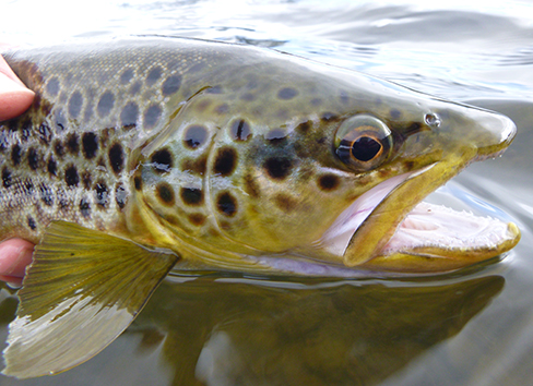
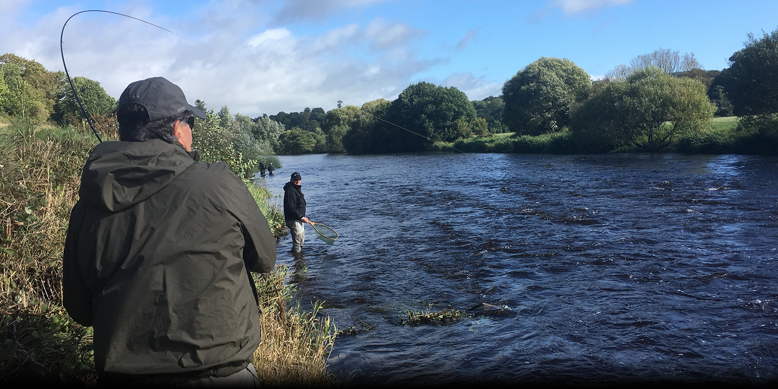
The two main areas that we fish in Ireland are both found in the south west part of the country. The Brown trout fishery is situated in the Ballymacarby area of Waterford Country. Guests may even find themselves fishing in County Tipperary, depending on which river is being fished that day? The second area that we fish is for Atlantic Salmon in the historic Blackwater River, which runs through the charming town of Lismore, which is also located in County Waterford. These two fisheries are located only an hour drive from each other, which lends itself to a wonderful opportunity to combine the two fisheries in to one fishing trip.