Currency:
The Ruble. American dollars and Euros are warmly accepted by just about everyone
Electricity:
220 volts. American and Canadian guests will need a power adaptor for lap tops, battery chargers, etc.
Language:
Russian, Many younger people in Russia will speak some English
Time Zone
Russia has 11 different times zones. The Kola Peninsula time zone is GMT +4, Kamchatka is GMT +12
Country Information
The Kola is the peninsula in the far north of Russia, part of the Murmansk Oblast. It borders upon Finland to the west, the Barents Sea on the North and the White Sea to the East and South. The peninsula covers an area of about 100,000 square kilometres (38,610 sq mi). The north coast is steep and high, the southern is flat. In the west part of the peninsula there are two mountain ranges: the Khibiny Mountains, and the Lovozero Tundra, the latter with points up to 1,120 metres (3,675 ft) in height.
Because the last ice age removed the top sediment layer of the soil, the Kola Peninsula on the surface extremely rich in various ores and minerals.
The Kola Superdeep Borehole which is the deepest borehole in the world, is located here, near the Norwegian border. Despite its northern location, the Kola Peninsula has a relatively mild climate because of the influence of warm Atlantic currents. The average temperature in January is about -10 C (14 F) and about 10 C (50 F) in July. The peninsula is covered by taiga in the south and tundra in the north.
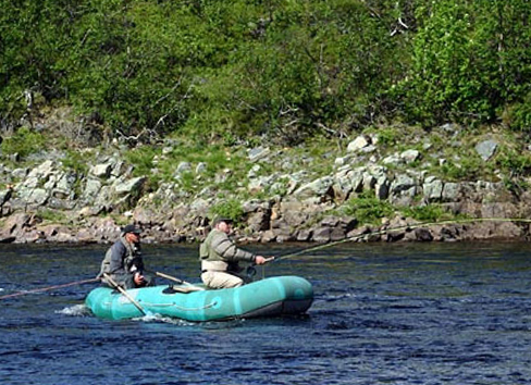
The Kola Peninsula has many fast-moving rivers with rapids. The most important of them are the Ponoy River, Varzuga River, Teriberka River, Voronya River, and the Iokanga River.
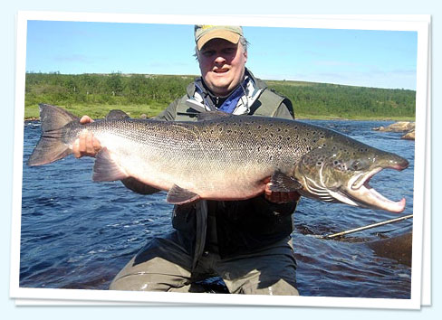
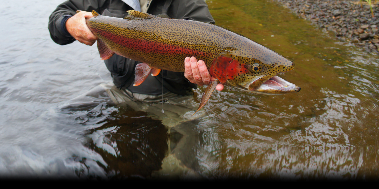
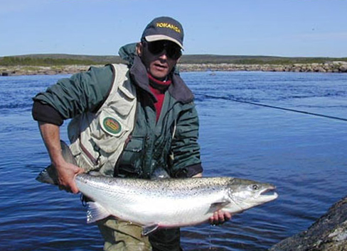
The rivers of the Kola play a vital role as habitat for the Atlantic Salmon Salmo salar, which return from Greenland and the Faroe Islands to spawn in fresh water.
As a result of this consistent and plentiful migration, a recreational fishery has been developed, with a number of remote lodges and camps hosting sport-fishermen throughout the summer months. The Kola rivers become icebound during the winter.
The Kola’s famed Ponoi River is known as top destination for Atlantic salmon fishing. It has 42 miles (67km) of fishable river and several great camps and lodges along its banks.
The Ponoi gets all the press and we are thrilled that this river gets most of the Atlantic Salmon angler traffic from North America and Western Europe. We hope it stay that way forever!
The Yokanga River is the best kept secret in Atlantic Salmon circles and we know of no other location that consistently produces fish the size of which are regularly caught there. We are very fortunate to be one of only a handful booking agents for the lodge and while it is often difficult to get in for a week, with some advance notice we can almost always get our anglers on the water during preferred weeks.